We Make Noise Visible
State-of-the-art simulations of traffic noise and 3D visualizations
n-Sphere AG
Your partner for GIS based solutions for realistic calculation, analysis and visualization of environmental noise.
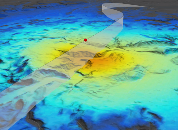
Aircraft Noise | sonAIR
The solution for the calculation of scenarios and annual loads, the simulation of individual flights as well as for the optimization of low-noise approach and departure procedures.
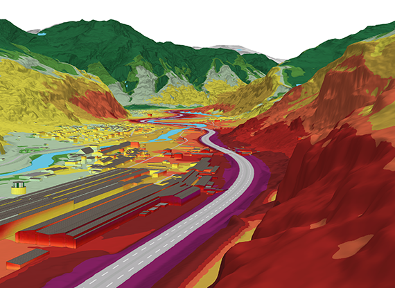
Street Noise | sonROAD18
The solution for the calculation of street noise under consideration of both engine and rolling noises, as well as sound emission characteristics of the various vehicle classes into consideration.
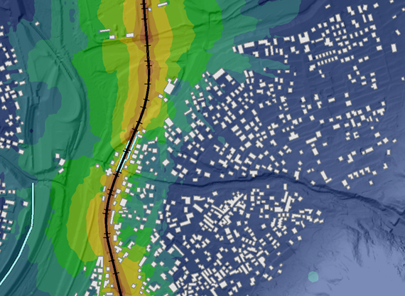
Railway Noise | sonRAIL
The solution for the calculation of railway noise and the simulation of the influence of noise protection measures at the source and on the path of sound propagation.
Shooting Noise | sonARMS
The solution for the calculation of shooting noise according to the annexes 7 and 9 of the Swiss noise abatement ordinance.
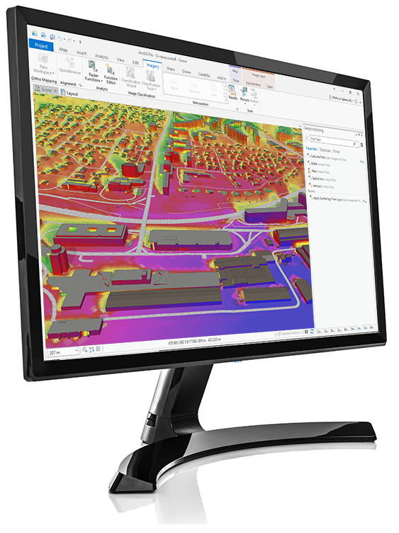
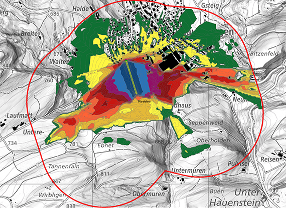
D-noise
D-noise is a GIS based solution for the calculation, analysis and visualization of noise and the planning of noise remediation measures.
D-noise is based on Esri ArcGIS for Desktop and is available as Add-In for ArcMap and ArcGIS Pro.
In addition to calculations with the new Swiss noise calculation models sonAIR, sonRAIL, sonROAD18 and sonARMS for flight, street, railway and shooting noise calculations, D-noise implements the older Swiss models StL86+, sonROAD and Semibel. It also offers interfaces for noise calculations with CadnaA and over a QSI-interface with a large number of third party solutions.
The noise simulation models of the son-series are based on the latest research results of Empa on the generation and propagation of noise and therefore allow an exceptionally realistic image of high quality of a wide variety of noise situations.